Loading...
Contact Us
info@metaverse-vr.co.za•Johannesburg, ZA
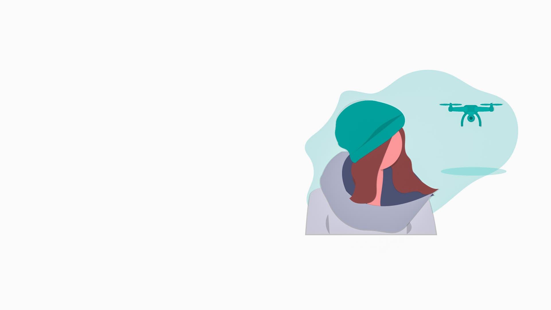
Professional 360 Drone Footage and aerial virtual tour services for tourism, property, events, venues, construction, marketing campaigns, and immersive VR experiences.
Metaverse VR South Africa creates professional 360 Drone Footage for companies that want to show their location, venue, development, destination, or event from a truly immersive point of view.
A standard drone video can look beautiful, but 360 Drone Footage gives viewers something far more memorable: the ability to look around, explore the surroundings, understand access routes, and feel genuinely present in the space before they arrive, book, buy, or invest.
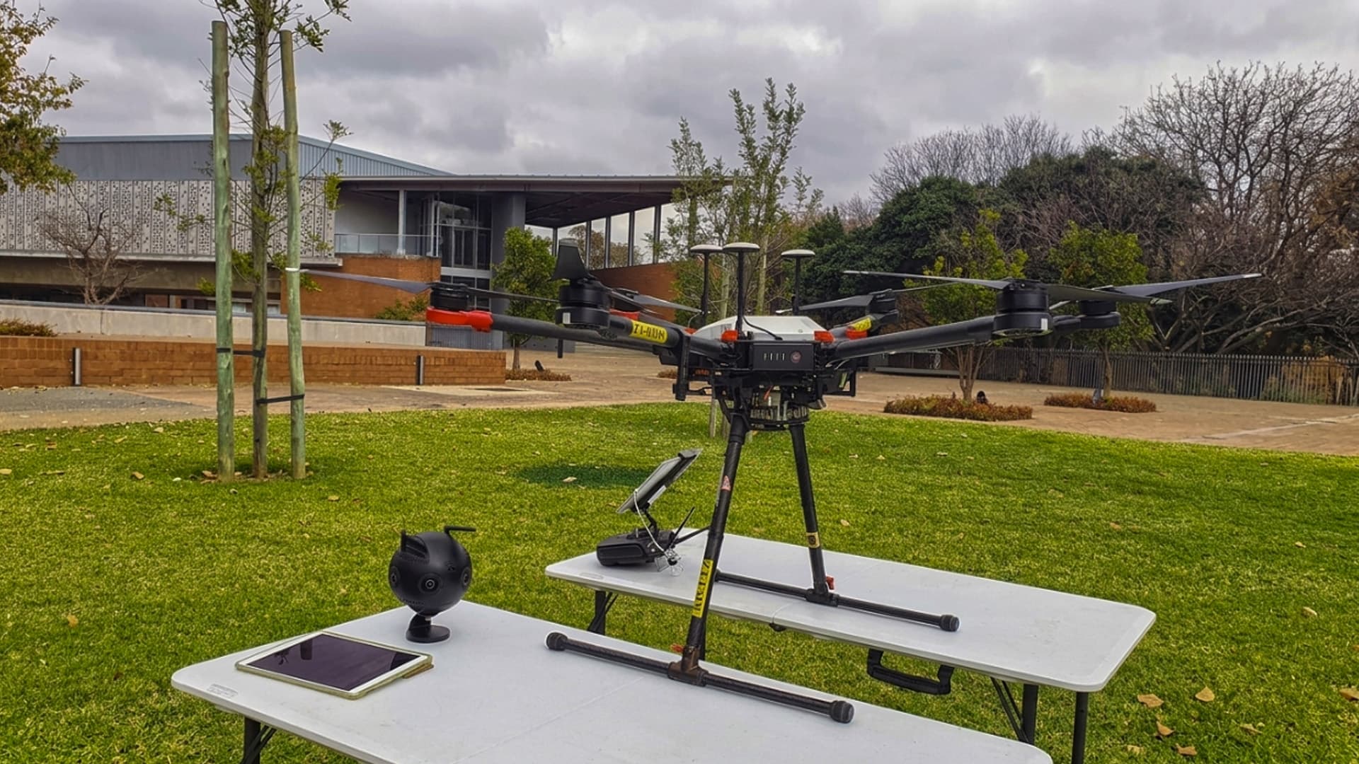
Panoramic Elevation
Full 360° spherical capture from breathtaking heights.
Explore how tourism brands, property developers, and event organizers leverage aerial 360 capture.
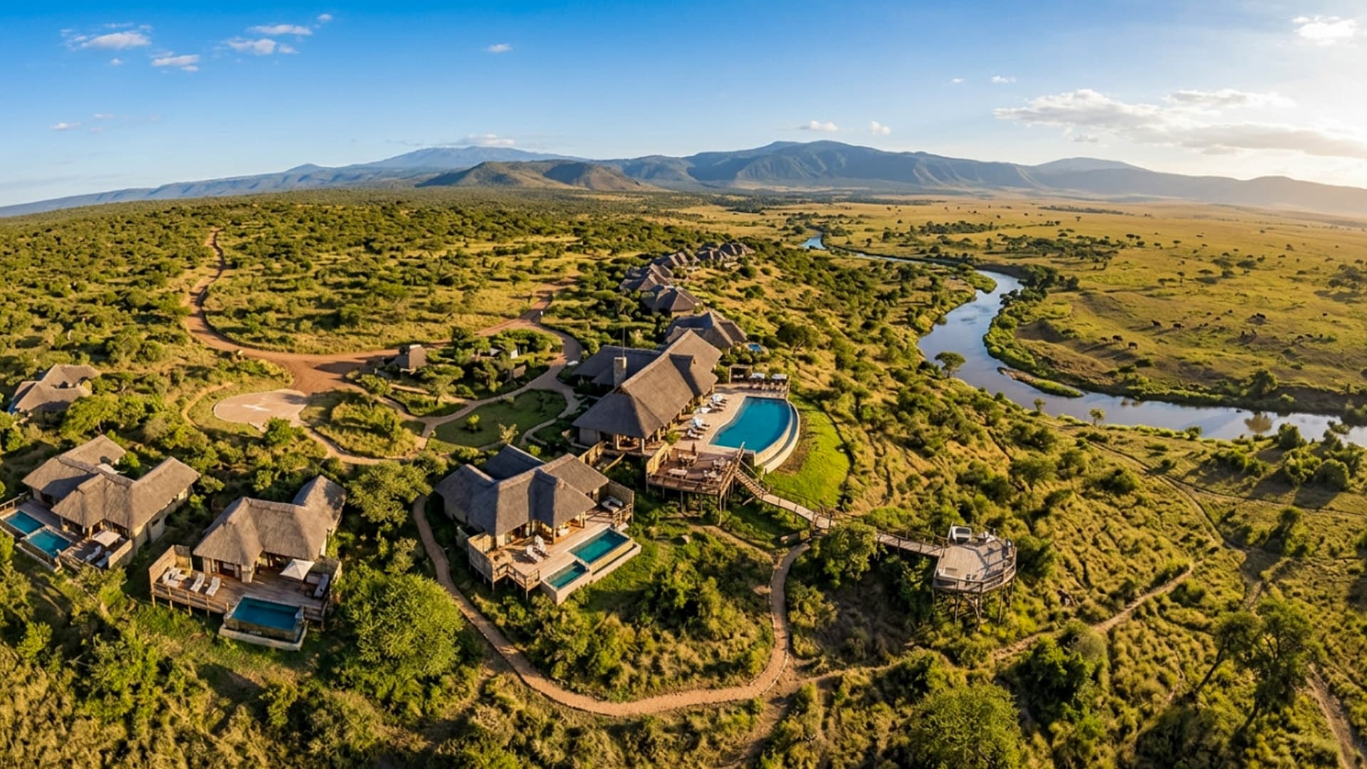
South Africa has extraordinary landscapes that flat photography cannot fully convey. 360 Drone Footage lets potential guests explore beachlines, mountain backdrops, safari reserves, facilities, and proximity to attractions at their own pace.
Key Applications
Powers VR tourism campaigns, lodge booking portals, travel expos, and embedded website 360 players.
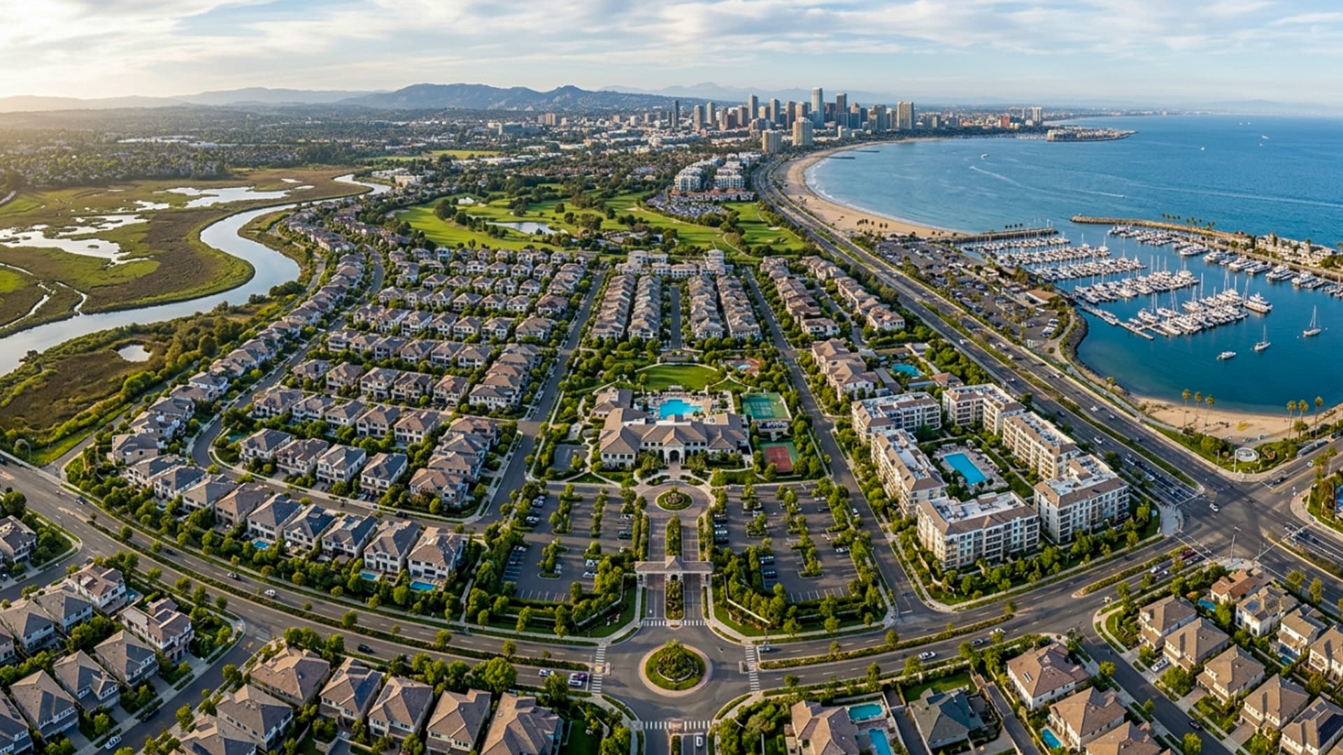
Property decisions hinge on location and environmental context. Aerial 360 content shows access routes, neighbouring landmarks, boundary lines, and amenities. For unbuilt sites, drone footage pairs with 3D Rendering to display the future vision.
Key Applications
Essential for investor decks, residential estate launches, commercial leasing, and architectural progress tracking.
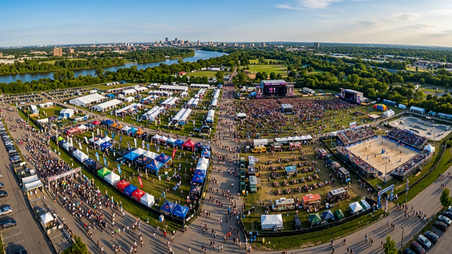
Capture the true scale, energy, and atmosphere of outdoor conferences, sports tournaments, festivals, and brand activations. Show arrival experiences, sponsor pavilions, and crowd movement in full 360° perspective.
Key Applications
Supports Virtual Events & Conferences, post-event sponsor recap decks, and future promotional campaigns.
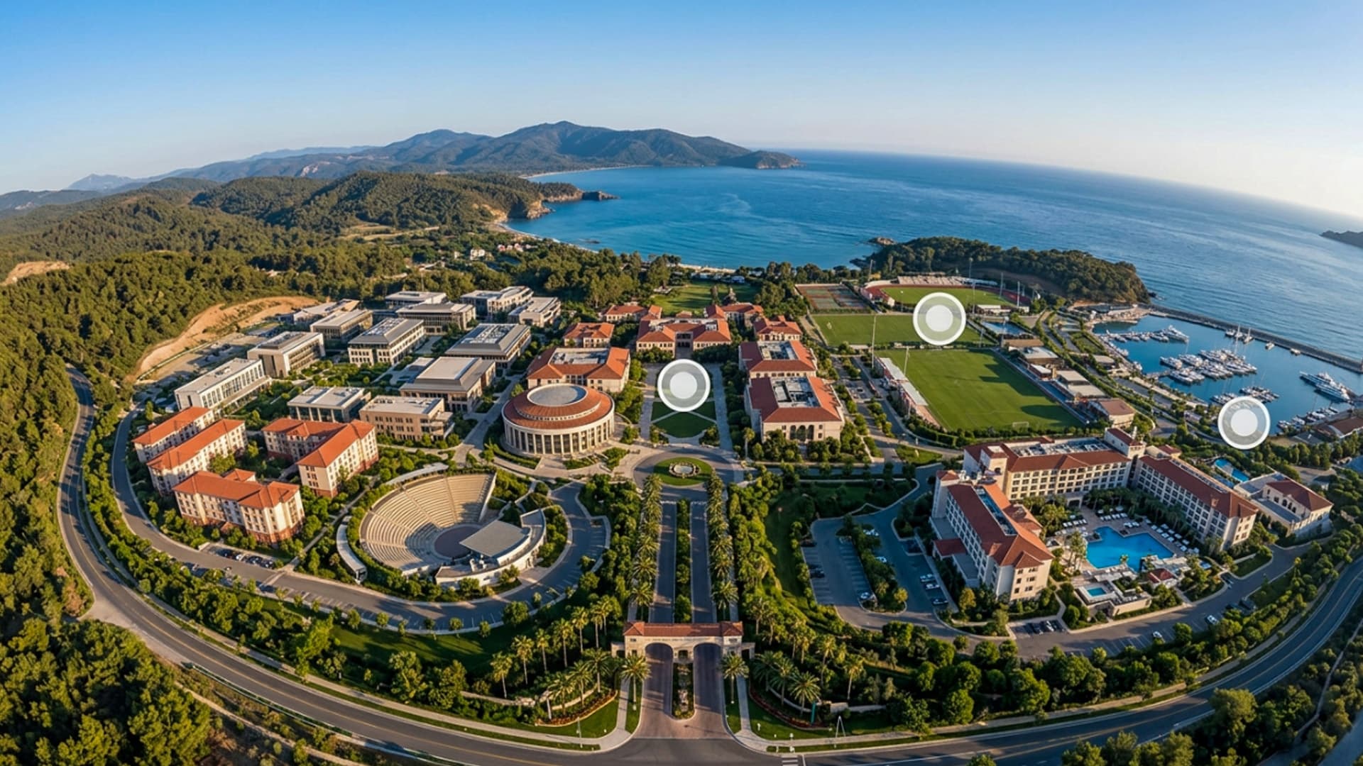
Acts as the elevated entry point for a comprehensive Virtual Tour. Viewers begin high above a campus, mine, resort, or development, then seamlessly transition down into ground-level 360 scenes and indoor walkthroughs.
Key Applications
Connects aerial overview nodes with interior photogrammetry, 3D models, and interactive media hotspots.
Combining high-altitude flight precision with cutting-edge 360° camera stitching and multi-device distribution.
Viewers can look in every direction (up, down, left, right, and behind) to build an accurate mental map of the entire environment.
Experience aerial content inside VR headsets for true spatial presence, or pan interactively across mobile phones and desktop browsers.
Integrates directly into Matterport and custom virtual tours as high-altitude navigation nodes and interactive map points.
Strict adherence to airspace regulations, weather safety checks, and risk-managed commercial flight planning.
Good aerial content starts before the drone takes off. We plan flight paths, weather conditions, and safety clearances to maximize visual storytelling.
Evaluating airspace restrictions, property boundaries, safety zones, sun angles, and key visual landmarks.
Deploying multi-lens panoramic drone rigs to capture high-altitude spherical stills and 8K 360° video passes.
Stitching multi-camera feeds into seamless, distortion-free 360° panoramic masters with optical stabilization.
Balancing exposure, color tuning, and embedding interactive points of interest, labels, or 3D visual overlays.
Publishing directly to your Virtual Tour, website player, YouTube 360, or standalone VR application.
Every project delivers production-ready aerial 360 visual assets optimized for your website, virtual tour, and VR headsets.
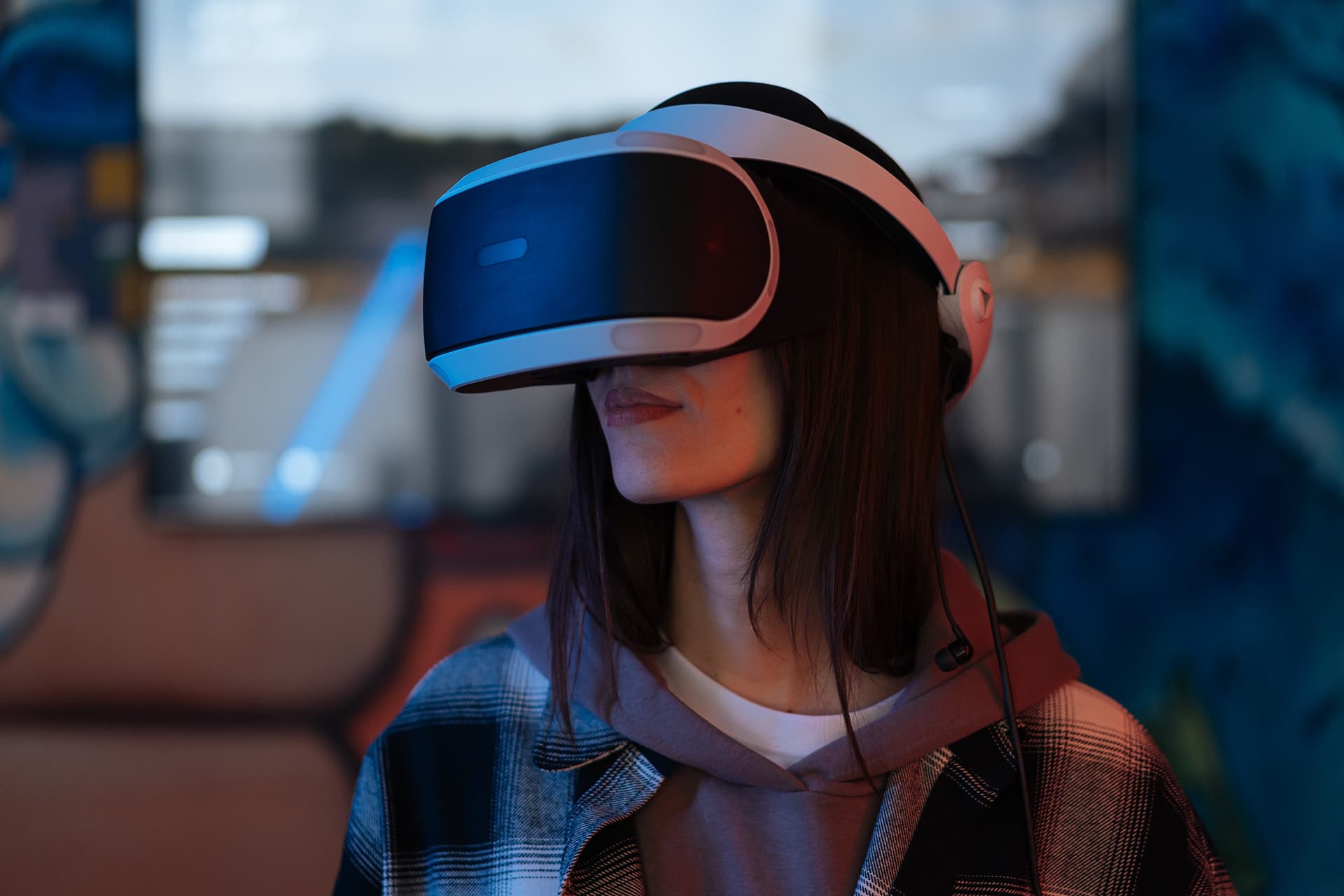
From custom VR software and virtual events to 360 Video, Virtual Tours, 3D Modeling, and 3D Rendering — Metaverse VR turns your ideas into experiences people remember.